Forest Road 76 & 86 Closure
Ride Guide
This intermediate loop begins in Richwood and connects the towns of Richwood and Cowen using a mix of forest roads, quiet pavement, and sections of rail-trail. Leaving Richwood, the route climbs north over two substantial ridges before descending into Cowen, offering expansive views across the forested mountains of Webster County. From Cowen, the ride joins the Cranberry Tri-Rivers Trail near Camden-on-Gauley, where the character shifts to the gentle grades of a rail-trail for the return toward Richwood.
Richwood has deep roots in West Virginia’s timber era. Known as the “Ramp Capital of the World,” the town boomed in the early 1900s as lumber companies harvested the vast hardwood forests surrounding the Cherry River valley. Today, it serves as a trailhead to recreation across the Monongahela National Forest. A notable local landmark, the historic Mike’s Knob Fire Tower, was relocated to town and mounted atop the Richwood Volunteer Fire Department as a tribute to the region’s fire lookout heritage.
Climbing out of Richwood over Hinkle Mountain, the route drops to Barrenshe Run and the Cranberry River before tackling another climb over Bishop Knob to reach the Williams River valley. High on the ridge east of Bishop Knob stands the Red Oak Knob Lookout Tower, another historic fire tower that once helped rangers monitor the surrounding forests. Plans are underway to restore the tower and make it available for overnight stays.
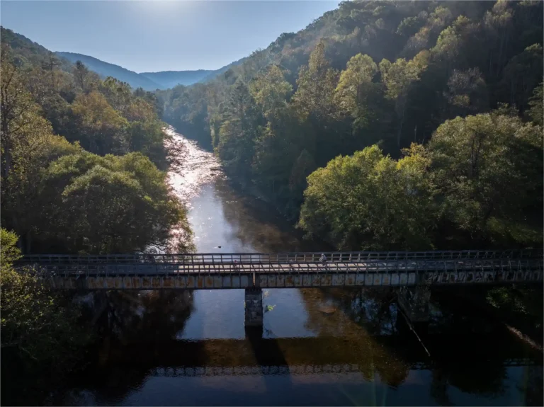
Beyond Cowen, the route follows backroads to the developing Cranberry Tri-Rivers Trail, a rail-trail corridor tracing former railroad grades through the valleys of the Cranberry, Cherry, and Elk Rivers. Community leaders continue to pursue funding and improvements for the trail, with long-term plans to extend connections to other regional trail systems.
Some sections of the Tri-Rivers Trail remain rough and lightly maintained, with puddles, mud, and grassy stretches caused by ATV and 4WD use. Riders on mountain bikes or wide-tire gravel bikes will still find the trail enjoyable — especially if they slow down, embrace the backcountry character, and don’t mind getting a little dirty.
This route was inspired by local rider Sam Barger, whose knowledge of Webster County’s backroads helped shape many of the loops connecting these mountain communities.